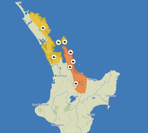
This is warning is in place from 3pm tomorrow (Wednesday), through to 3am Thursday. During this time, expect 70 to 120mm of rain, with peaks rates of 25 to 40mm/h likely in localised downpours. Thunderstorms are also possible.
Please take care as this weather could cause streams and rivers to rise rapidly, surface flooding, slips, and difficult driving conditions.
For any preparedness advice, check out the Get Ready website: https://getready.govt.nz/
You can check out your local council for weather updates, NZTA for journey planning and MetService for forecast changes.